https://discord-servers.io https://nikeshoesinc.us https://inka.web.id https://ejournal.unmus.ac.id http://www.dba.ru.ac.th https://journal.undar.ac.id https://dos.gov.np/downloads/sitemap/url.html https://mazonka.com https://noonekilledjessica.com https://zarya.info https://aissrlab.ku.edu.np/image https://aidsquilt.net https://otg.bkkbet01.com https://www.cadsoftusa.com https://www.betace77.com https://www.bkkbet77.com https://bsc.news/post/u31 https://bsc.news/post/som777 https://bsc.news/post/fox888-ewbhwyedimphan-nailn-andab-1-ewbtrng-aimphaane-eynt https://bsc.news/post/bkkbet https://bsc.news/post/play168 https://bsc.news/post/kubet https://bsc.news/post/shbet https://bsc.news/post/789bet https://kingchulalongkorn.car.chula.ac.th/data/docs/url/sitemap.html https://springyarchiver.com https://web2.senate.go.th/lawdatacenter/modules/video/sitemap/url.html https://wangchaohosp.go.th/admin~s/video/sitemap/url.html
:
;
Deputy Director General

Amir Prasad Neupane

Email: amirneupane@gmail.com
Phone: +977-9841422062
Introduction

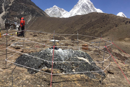
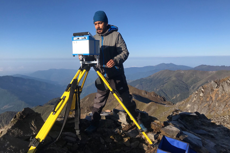
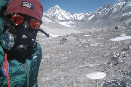
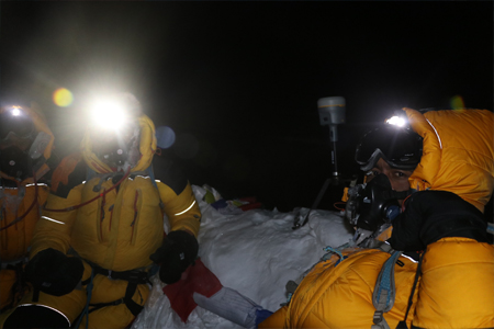
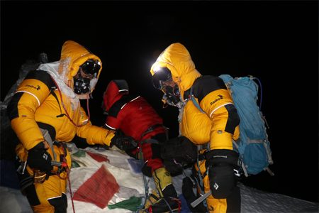
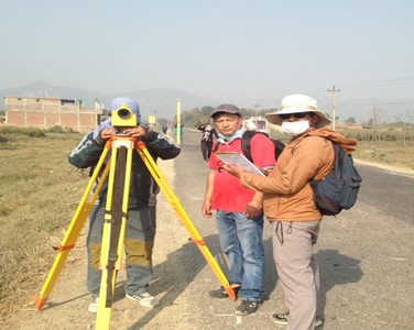
Geodetic Survey Division was established in 25 September 1967 in the name of the Trigonometrical Survey Branch. Trigonometrical Survey Branch was then engaged to establish a triangulation network throughout the country. Later on, Trigonometrical survey Branch was renamed as Geodetic Survey Division with a view to encompass its various activities of Precise Leveling, Astronomy. Gravity and other Geodetic Survey work in the country. Geodetic Survey Division is now actively engaged in to producing geodetic, gravimetric and altimetric (height) data required for the preparation of maps and geo-information products including cadastral information of the country.
  Read More

Photos

Videos

Facebook Page