GNSS at Top of Sagarmatha
Detail Information
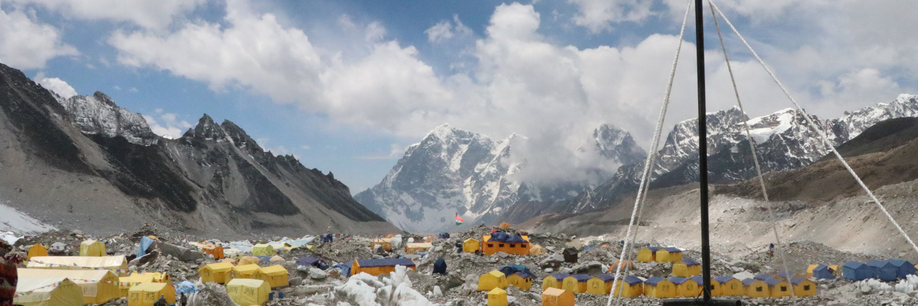
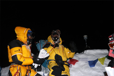
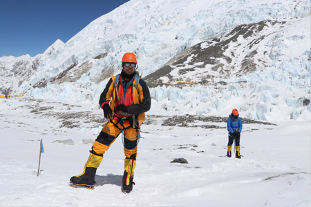
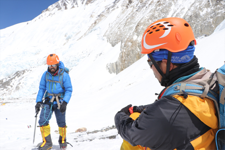
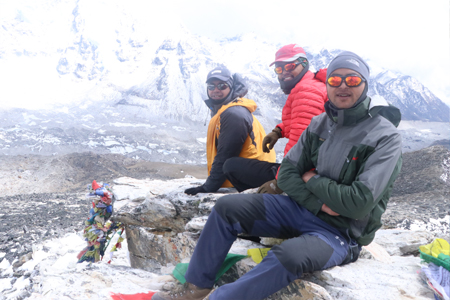
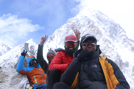
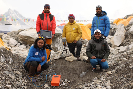
GNSS survey was conducted at the top of the Sagarmatha and the data was collected for 1 hours 16 minutes. During the time Ground Penetrating Radar (GPS) survey was also conducted to find the snow depth.List of surveyors with a team are as follows: Team Leader (Sagarmatha Expedition: Chief Survey Officer Mr. Khim Lal Gautam. (Field Season 2075/76)
Team Members
Survey Officer Mr. Rabin Karki
Surveyor Mr. Suraj Bhandari
Asst. Survey Officer Mr. Yuvaraj Dhital
Copyright © 2017 Survey Department
Government of Nepal